


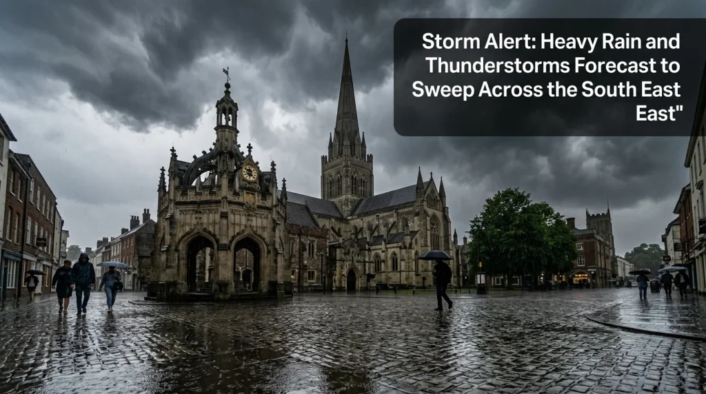
- Duration and Location: A Met Office weather alert is in place for Chichester and across the South East on Thursday, 27 August, valid from 05:00 until 21:00.
- Severe Hazards: Forecasts suggest up to 50mm of rain could fall in 12 hours, with risks of frequent lightning, 2cm hail, and “greasy” road conditions for motorists.
Met Office Issues Yellow Weather Warning for West Sussex
Residents in Chichester and the surrounding areas are being urged to prepare for significant weather disruption as the Met Office issues a yellow warning of thunderstorm affecting London and the South East. The weather alert is scheduled to remain in place throughout most of Thursday, 27 August 2026, with the official warning window valid from 05:00 until 21:00.
Forecasters say the region could see between 20-30 mm of rain falling widely within a three-hour period. In some localised areas, the total rainfall could potentially reach 50 mm over a 12-hour duration. This shift in weather follows patterns observed during previous seasonal transitions, including how the latest heatwave impacts the South East, where sudden atmospheric changes often result in volatile storm conditions.
Potential Hazards and Utility Risks
The Met Office has warned of several hazards expected with this weather system. Beyond heavy rain, the forecast includes frequent lightning strikes and hail of approximately 1-2 cm. Emergency services have noted that there is a slight chance of power cuts and the loss of other essential services to homes and businesses during the 16-hour alert window. Local residents are encouraged to check for flooding updates to monitor water levels in high-risk zones.
Flash flooding remains a primary concern for the Chichester area. Sudden downpours can overwhelm drainage systems, leading to rapid water accumulation on residential streets and businesses. The Met Office warned that these conditions could develop quickly, providing little time for preparation once the storms begin.
Impact on Travel and Infrastructure
Transport networks across West Sussex and the broader South East rail network are expected to face significant pressure. National Rail stated that flooding or lightning strikes may lead to delays and cancellations for train and bus services. This follows previous instances of severe train disruption following a landslip between Glynde and Berwick, which illustrated the vulnerability of local lines to heavy rainfall. Passengers are advised to consult service disruptions trackers before attempting to travel.
On the roads, the RAC has issued a specific warning regarding safety. Following a prolonged dry spell, oil and fuel deposits have accumulated on road surfaces. When mixed with the projected rainfall, these deposits create “greasy” road conditions that significantly increase the risk of skidding. Motorists are advised to reduce their speed and maintain increased following distances to account for reduced grip and visibility during the storms.
The yellow warning encompasses several local authorities, including West Sussex, Buckinghamshire, Milton Keynes, and Oxfordshire. While the storms are expected to be localised, their intensity remains a concern for local infrastructure and public safety until the warning expires late on Thursday evening.